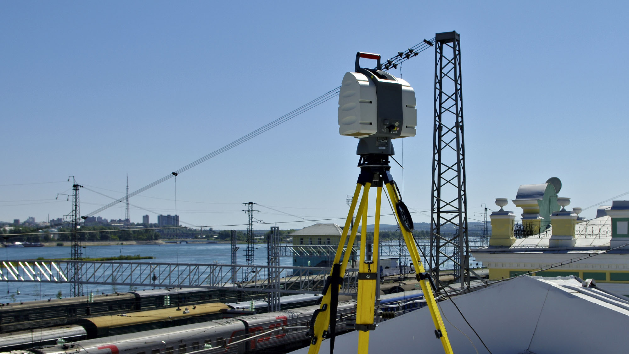


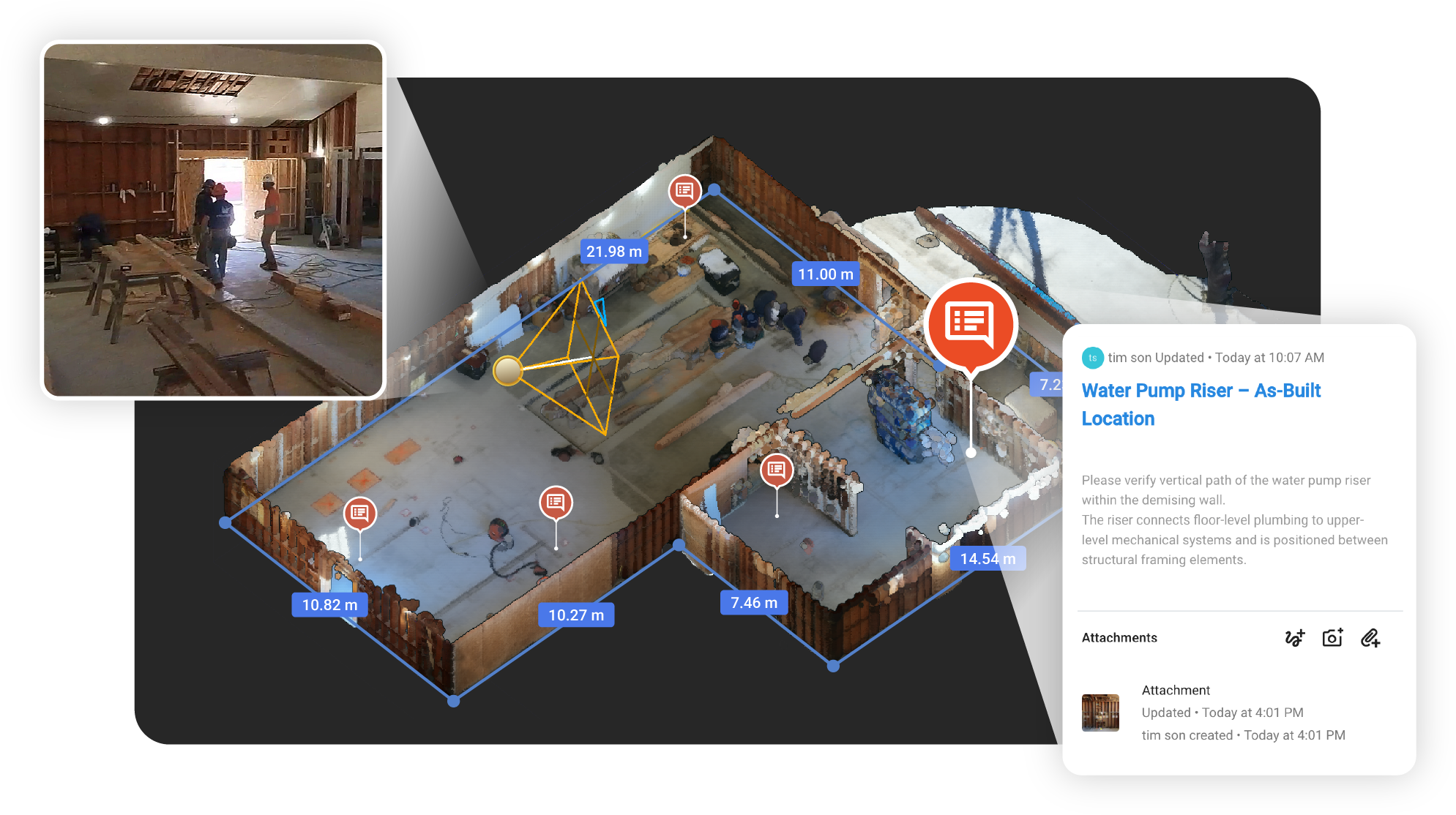


Cupix delivers an exceptional blend of user-friendliness and value in their 360 reality capture solution. The use of readily available consumer 360 cameras for data collection democratizes the acquisition of intricate geospatial details, avoiding the complexities associated with alternative methods. The capability to create detailed 3D models and spatial data from merely a walking capture is breathtaking. Kudos to Cupix for their relentless innovation and efforts to bring reality capture technology to the masses.


“CupixVista is revolutionary. It transcends data collection, transforming how we problem-solve in built and virtual environments. Its ease of use inspires even traditional tradesmen, bridging five generations of the workforce in collaborative innovation.”